For your mining, engineering and construction survey support
ND Surveying Services is a surveying and mapping firm that provides its services to both private and public sectors. We offer a variety of mining, civil, engineering and construction surveying services for most stages of project development.
We strive to ensure complete client satisfaction by providing personal quality service on time and on budget.
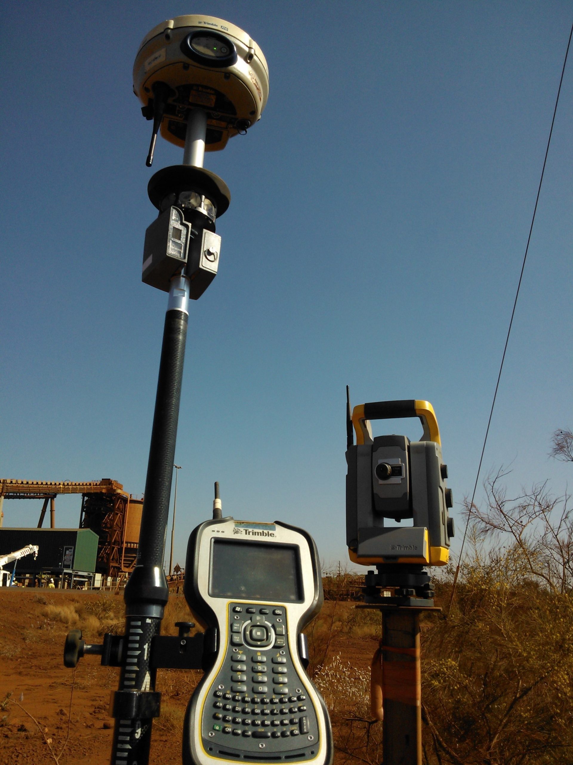
We also provide survey support to other surveying firms for short or long term assignments. Our surveyors are self-equipped, but we do utilise any brand of client supplied survey equipment to produce the required outcomes and formats.
We have been offering our services also through Local Buy arrangements across most regions of QLD, NSW and Western Australia over the past four years.
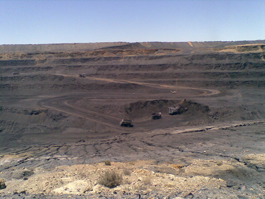
ND Surveying Services is available to offer relief, long or short-term survey support in surface/ open cut mining operations for both coal and metalliferous mines. The available survey services are not limited to;
Detailed pick up of active mine workings
Daily rise and run surveys
Ore body mark ups and setting out
Set out of crest/ toe lines, dig doze lines and dump limits
End of month volume surveys & reporting
Grade control on rehabilitation works
Wall stability monitoring
Set out and pick up of blast patterns
Seismic & Exploration surveys.
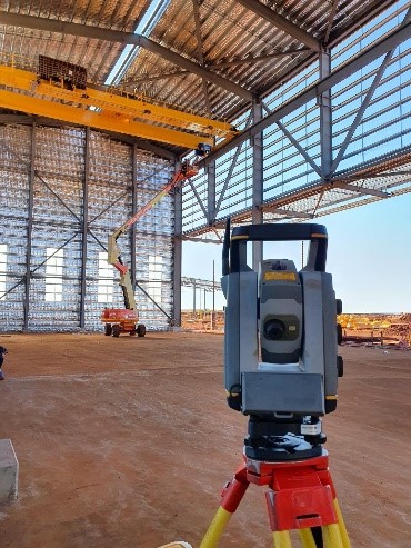
Construction Surveys
ND Surveying Services personnel have vast experiences with both large and small civil/ earthworks movements. We offer services on;
Detailed topographic surveys to create initial surfaces
Material take-off and Claims verification
Setting out of construction works
Machine Control and support Trimble, Earthworks & Topcon
Conformance surveys to Main Roads Specs
Concrete works modelling & setting out
Structural alignment & assembly
Drainage, piping, powerlines and underground services
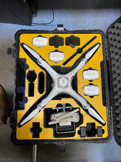
UAV Drone Surveys
Our surveyors hold CASA’s Remote Pilot Licences (RePL) for various drone classifications. We fly various drones for different purposes ranging from:
Stockpiles Volumes surveys
Point cloud/ LAS Models
3D strings and models
Digital Terrain Models (DTM)
Digital surface Models (DSM)
Digital Elevation Models (DEM)
Orthographic photos/ Mosaic/ Processed maps and TIFFs
Drone videos
Panorama and still photography
Inspection & Heritage Surveys
Our Footprint
Our principal surveyor, Nkomo Dlodlo has delivered and been involved in the successful delivery of many large-scale projects in the Pilbara Western Australia, Central Queensland, and Southern New South Wales.
Recent site experiences include:
Onslow Iron Project (2023/24)
Robe Valley Sustaining Project (2021/22)
Ord River Project Farms (2021)
West Angelas Pits C&D expansion (2020/2021)
Toowoomba Second Range Crossing (2018/2019)
Arcadia/ Roma Hub 2 Gas Plant (2015/2017).
Coal Mining Operations – From remote South Australia to up north in Queensland.
Mining infrastructure construction surveys across the Pilbara Western Australia and in the Surat Basin Region (QLD)
Main Roads’ highways and local subdivisions
Regional roads, drainage improvements and reconstruction surveys in the Illawarra Region (NSW)